September 8, 2013
 |
| (Click to Enlarge) |
Woke to bright sunshine and a watch that said 7:01am. Thought something was wrong until I realized that it was only 6:01am and that sun out there was up only because I was in the eastern end of this time zone. But I was up so I read a little and killed some time. My intention was to visit the Sand Creek Massacre National Historic Site and I figured they wouldn't be open until 09:00 so there was no hurry.
After a nice breakfast, I gassed up and headed out following my trusty Garmin GPS. I have a new one, that old lying s.o.b. I had before gave up the ghost before I made him one myself. (Must be the unit, couldn't possibly be me.)
This area is high plains. Miles and miles of miles and miles; mostly in the process of producing something from the land. Boring, until you consider their shear vastness. In their own way they are as majestic as the Grand Canyon.
One of my favorite things is lots of road with no one on it but me. I love to hog the miles and miles and Colorado is one of the best places in the country to find such opportunities.
Looking south

Looking north

Beautiful day, huh?
I'm always amazed at the things you run into on these rides. Riding merrily along, contemplating the middle east and North Korean problems, and wondering about the next Oracle EBS Release...YEAH RIGHT! Enjoying the cool morning and Betsy's throaty rhythmic metronome I looked up and saw a car on top of a silo. Yes, I did.


(From White States Ride 2007: Carhenge)
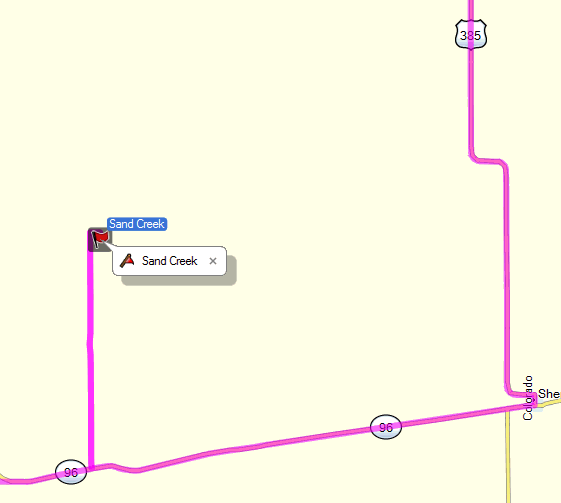
Okay, now for the disappointment. As noted, my intent was to visit the Sand Creek Massacre National Historic Site. For the non-history buffs among us, this was the site of the massacre of between 70 and 163 Cheyenne and Arapaho, most of them women and children, along Sand Creek in southeastern Colorado on 29 Nov. 1864. The raid was led by Col. John Chivington a Methodist minister cum Colorado Volunteer Army Colonel. His relish for the latter led to his "location" (read: firing) from the former. Among his most confusing contradictions was his zeal as an abolitionist and his hatred of the native Americans. (My opinion: he was overly proud, arrogant, and ambitious...traits shared by many today. Like Pat Robertson, evidently Chivington's Bible had only nine commandments too.) But, as so many, he was politically astute and knew how to rabble-rouse. At least until he couldn't fool anyone any more. His political life essentially died after he seduced, then married his dead son's wife. Who latter divorced him for non-support. Nice guy, what?
All of the above is to provide background for my inability to get to the Sand Creek Massacre National Site. The below map will illustrate my problem.
Disappointed, I soldier on heading north into Wyoming. Weather reports indicate some Canadian air coming over the next couple of days, something to be embraced. However, that also means rain and let me tell you, when it rains out here around the mountains, it rains. I turn westward toward Greely then north to Cheyenne on Hwy85 avoiding all but a short span of slab (Interstate). It turned into a race.

Off to my left as I head up Hwy85, apparently almost directly over I-25 running parallel to me I see this. You can't tell from this distance, but I can just about guarantee you it's strangling frogs over there. Not interested in such things, I pull into Cheyenne and park it for the day.
This comment has been removed by a blog administrator.
ReplyDeleteDeleted duplicated comment from Day 1.
ReplyDelete